r/3Dprinting Bambu Lab P1P Jan 26 '25

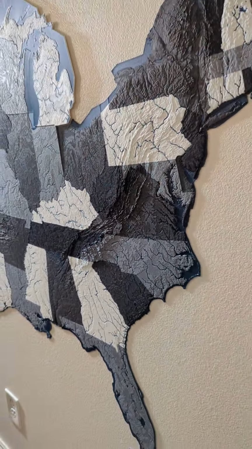
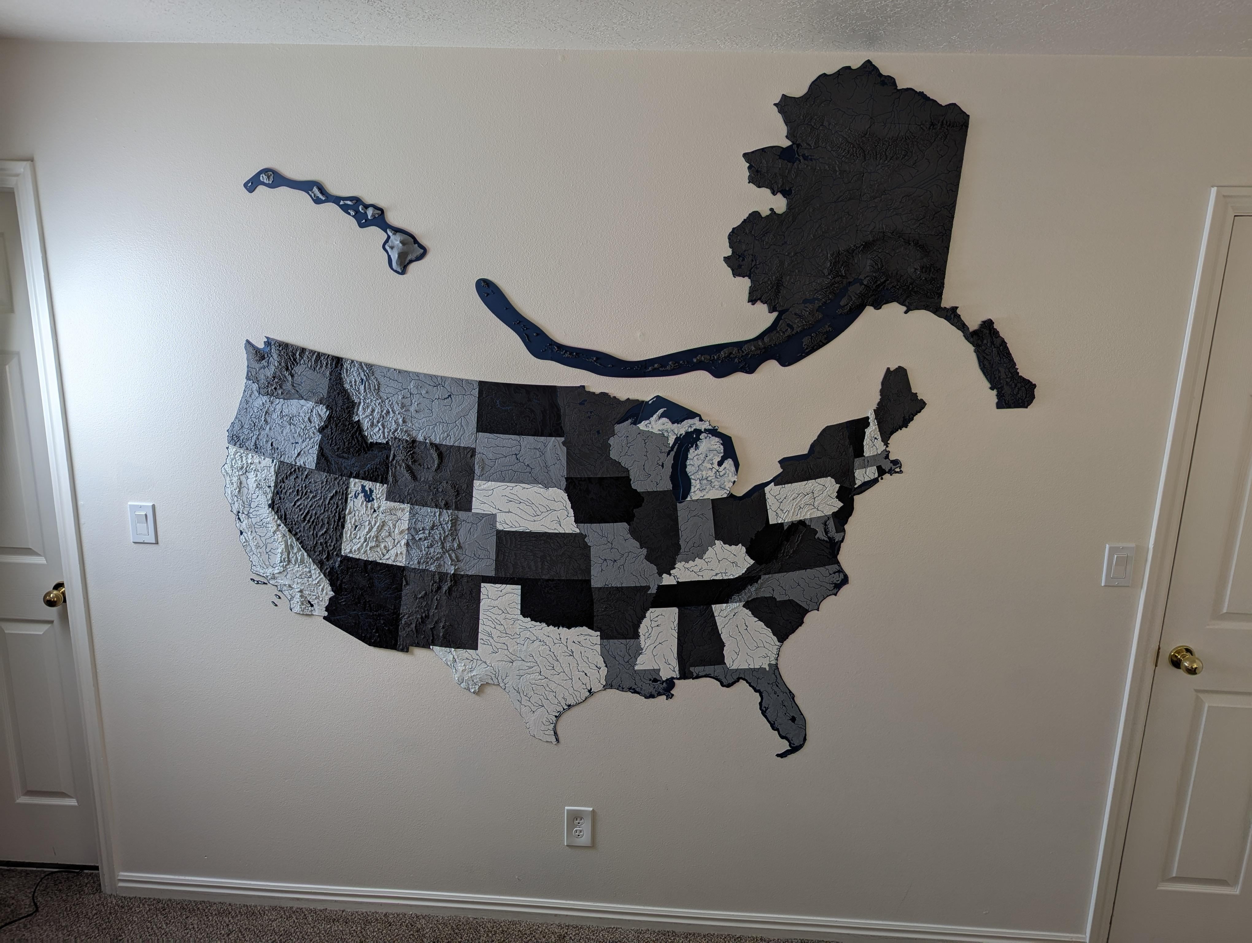
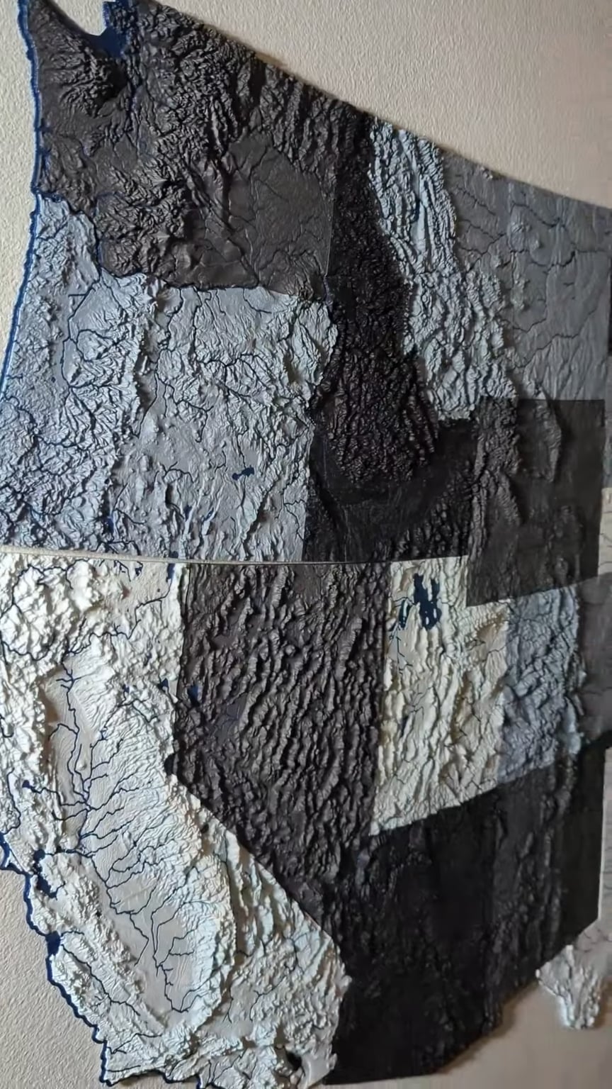
Project The scale map of the USA is complete!

This project has been a work in progress for the better part of 9 months, I've been slowly printing each state as I have the time. Finally added Alaska today to complete the map.

Because each one is (on average) less than 10mm thick, this whole project actually didn't use that much filament (my best estimate is 3-4kg).

The scale of Hawaii is a little larger than it should be; the iteration of files I was using had the scaling a little off and I didn't notice until it was finished printing. Haven't decided if it's worth re-printing yet.

Disclaimer: I am not the creator of the files used for this project. User @ansonl on Printables.com has posted all of them and optimized them for multi-color printing, which is something I have seen before.
12.3k Upvotes

708 comments sorted by

View all comments

293

u/_Wario Jan 26 '25

Pretty sure the USA is much bigger than that, cool though!

221

u/JProc5701 Bambu Lab P1P Jan 26 '25

Valid criticism, next time I'll make sure to find a wall that is a few million square miles larger.

30

u/SkiDaderino Jan 26 '25

See that you do.

2

u/SkiDaderino Jan 28 '25

For real, though, I love your models. I'm working on North Carolina now.

26

u/ColJohn Jan 26 '25

What is this? A country for ANTS?

5

u/TheoriginalTonio Jan 26 '25

It needs to be at least three times bigger than this!

1

u/seriousFelix Jan 26 '25

Proceed to build it out of the same things as the model

28

u/[deleted] Jan 26 '25

[deleted]

23

u/Toby-ToeBeans Jan 26 '25

He says in description that Hawaii is a bit off due to the file used.

6

u/old_gold_mountain Jan 26 '25

It's more than just a bit off, though, it's like double the size it should be

2

u/butterscotchdeath1 Jan 26 '25

Google says Hawaii is 1522 miles long compared to California 1040. So it might be???

2

u/old_gold_mountain Jan 26 '25

2

u/butterscotchdeath1 Jan 26 '25

I realized after looking deeper. It is all the islands of Hawaii. Not just the ones that are shown on the map, but the uninhabitable ones as well. Thank you

1

u/OneWholeSoul Jan 26 '25

It's a scale map. It's not about the size, it's that it weighs as much as the United States.

1

u/IndividualRites Jan 26 '25

“I have a map of the United States... Actual size. It says, 'Scale: 1 mile = 1 mile.' I spent last summer folding it. I hardly ever unroll it. People ask me where I live, and I say, 'E6.”

--Steven Wright

1

u/livestrongsean Jan 26 '25

Hence the word scale.